
Hydrographic Surveys
Our Services
Accurate data. A solid foundation.
Do you require precise data on the geometry, characteristics, and structure of a water body? Would you like to determine the volume of deposited sediment and the thickness of sediment layers?
We provide professional hydrographic surveys of rivers, lakes, canals, and port areas – reliable, efficient, and environmentally friendly.
Hydrographic
Surveys
Precise hydrographic surveying of water bodies using echo sounding technology to produce high-resolution bathymetric maps – providing a reliable basis for planning, analysis, and documentation.
Cross-Sections and
Longitudinal Profiles
Surveying waterway cross-sections to determine sediment layer thicknesses, watercourse bed profiles, and soil conditions.
Water Monitoring
Regular monitoring of sediment transport, sedimentation processes, and erosion to assess long-term changes.
Volume
Calculations
Calculation of storage, excavation, and sediment volumes for planning, construction, and documentation.
3D Visualizations &
Digital Terrain Models
Creation of detailed 3D visualizations and digital terrain models for intuitive visualization and precise analysis.
From measurement to application
Our survey data provide a reliable basis for planning, documentation, and the technical assessment of water bodies in studies and risk analyses. The collected data can be further processed and tailored to address a wide range of hydraulic engineering and environmental applications – for example, as a planning basis for continuous sediment transfer.
Applications
Precise Surveys. Clear Decisions.
Our surveying services are used across a wide range of applications.
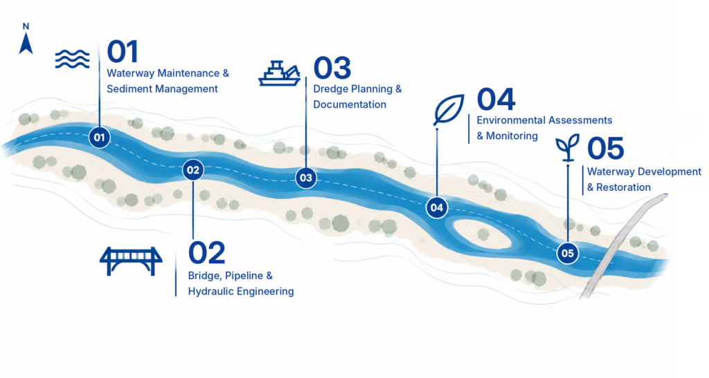
- Waterway Maintenance & Sediment Management
- Bridge, Pipeline & Hydraulic Engineering
- Dredge Planning & Documentation
- Environmental Assessments & Monitoring
- Waterway Development & Restoration
Technology
& Quality
We use state-of-the-art surveying equipment, including differential GPS, automated echo sounders, and specialized software for data analysis in GIS and CAD environments. All data is collected in accordance with applicable standards, ensuring full traceability and accuracy, and handled by experienced professionals.
Tailored Surveying Solutions for Your Project
Whether you need a one-time survey or long-term monitoring, we provide tailored proposals based on your project objectives and local conditions. Get in touch with us today for a free, no-obligation consultation!